
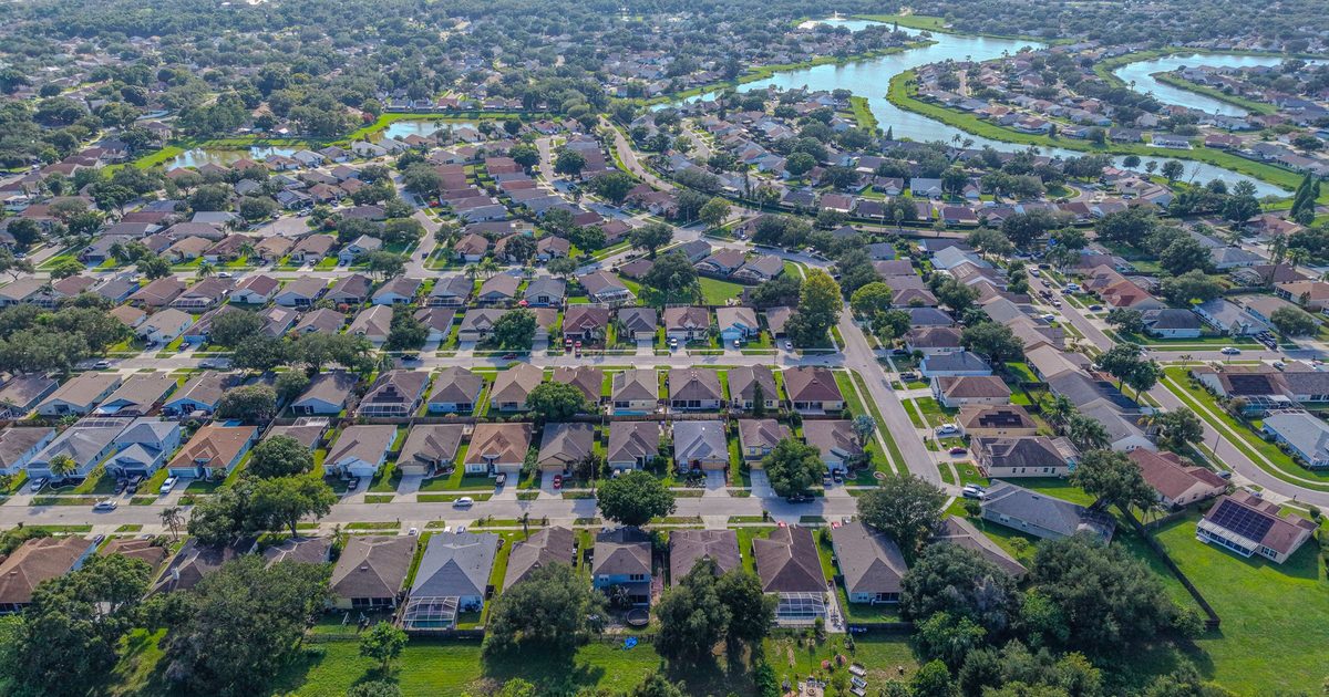
Aerial Vantage FL in Hastings
Hastings sits in western St. Johns County along State Road 207, roughly halfway between St. Augustine and Palatka and a short drive from the St. Johns River. For more than a century the flat, sandy fields around it have been known for potatoes, along with cabbage and other vegetable crops, and much of the surrounding land is still farmland, pasture, and timber with rural homesites in between. Nearby communities such as Elkton, Spuds, and Flagler Estates share the same open, agricultural landscape.
That much open land makes drone mapping one of the most useful services here. An orthomosaic stitches hundreds of overlapping images into one detailed, top-down view, so landowners, growers, buyers, and agents can see field layouts, ditches, ponds, barns, tree lines, and access roads at once. Drone maps are a visual planning and documentation tool, not a legal or certified survey.
For land, acreage, and rural home listings, aerials show the size and setting of a property in a way ground photos can’t, and we can pair them with full interior and exterior photography. Builders putting up new homes or farm buildings can keep owners and lenders updated with recurring construction progress photos from fixed positions. For insurance carriers, independent adjusting firms, and adjusters, we provide organized roof and storm imagery from a Licensed Florida All-Lines Adjuster (#W932150).
Timing matters on working farmland. Fields look very different at planting, at harvest, and when they sit fallow, so we can schedule a flight around what you want to show, or repeat the same flight path later in the year for a side-by-side comparison. Morning flights usually give the calmest air and the softest light across open ground.
Edited photos are delivered within 24–48 hours. Every flight is flown by an FAA Part 107 certified remote pilot, and the business is fully insured.
Nearby areas we serve: East Palatka · Palatka · St. Augustine · Bunnell