
What you get
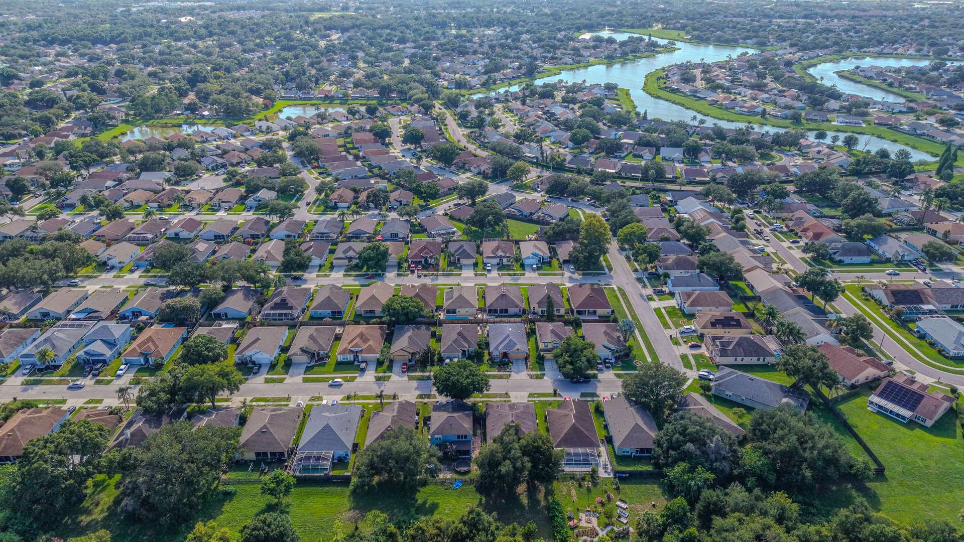
Progress photos are only useful if you can compare them. We lock in a set of vantage points on the first visit, then return on your schedule and shoot the same positions, headings, and heights each time. The result is a clean visual timeline of the project that anyone can scan in seconds.
- Aerial overviews of the whole site from fixed, repeatable positions
- Ground photos of key areas you specify
- Photo sets organized in dated folders with consistent file names
- Optional orthomosaic maps of the site at milestones
Who it’s for
Owners and developers who can’t be on site every week, general contractors keeping stakeholders updated, lenders and investors tracking a draw schedule, architects and engineers following a build, and marketing teams who want a time-lapse story of a new community or commercial project.
How it works
- Kickoff. We agree on the visit schedule (weekly, every two weeks, or monthly) and the views that matter to you.
- Site coordination. We check in with the superintendent, follow your site safety rules, and keep clear of crane operations.
- Repeat captures. Each visit uses the same saved positions so frames line up from one month to the next.
- Delivery. Each dated set is delivered by download link within 24–48 hours of the visit.
Why repeatable angles matter
Random snapshots make it hard to tell what changed. Fixed vantage points turn a folder of photos into a timeline: line up two dates and the progress is obvious, whether it’s site work, slab, framing, roofing, or landscaping. Those sets also become a useful record if questions come up later about when work was completed or how the site looked on a given date, and they make a strong before-and-after story for marketing when the project is done.
Turnaround and service area
Every visit’s photos are delivered within 24–48 hours. We cover residential and commercial job sites across Volusia, Seminole, and Flagler counties, from new subdivisions to commercial builds along the I-4 and I-95 corridors. The business is fully insured, and all flights are flown by an FAA Part 107 certified remote pilot.