
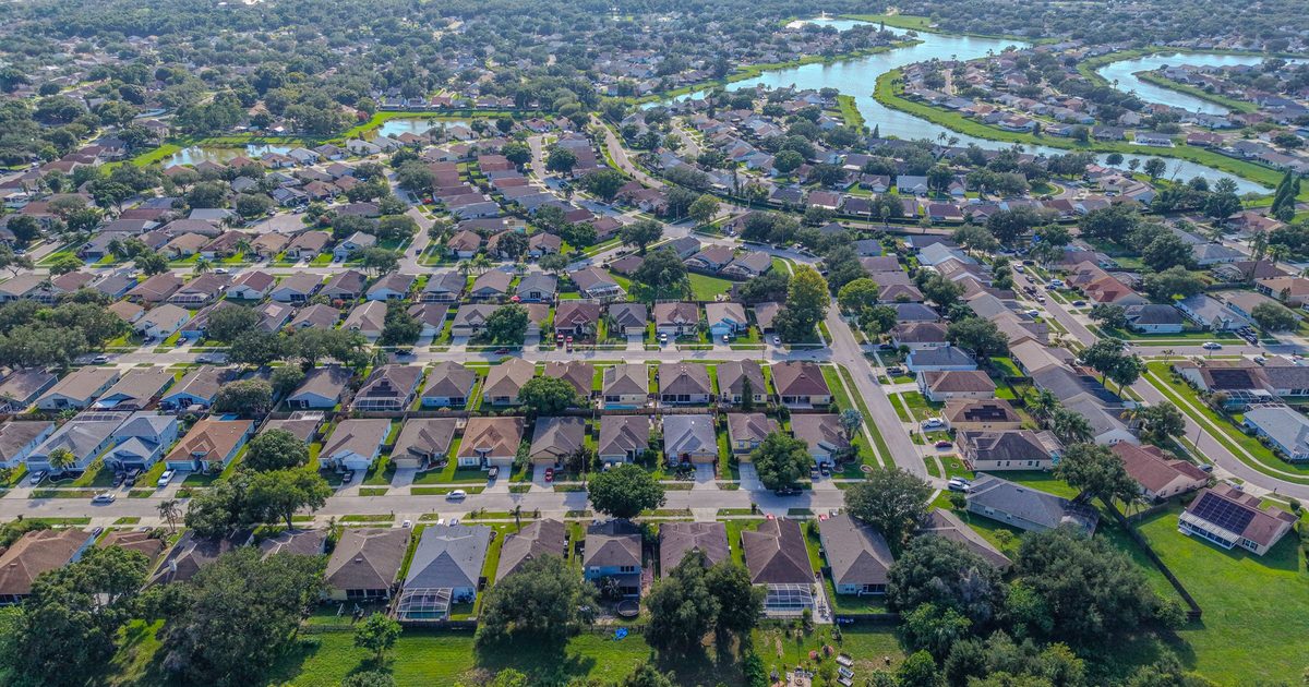
Aerial Vantage FL in Ponce Inlet
Ponce Inlet is a small town at the southern tip of the barrier island below Daytona Beach Shores, where the Halifax River meets the Atlantic at Ponce de Leon Inlet. It is best known for the Ponce de Leon Inlet Lighthouse, the tallest lighthouse in Florida, and for its marinas, beachfront condos, and homes with water on more than one side.
Few places show the value of aerial photos better. A drone shot shows how a property relates to the beach, the inlet, and the river at once. Agents get ground photos and aerials from one visit, and waterfront owners and associations use our seawall and dock photos to keep a dated record of their structures.
Shoreline monitoring is a natural fit here: repeat captures from the same positions help associations and property owners document how beaches and riverbanks change over time and after storms. Condominium associations can also use our exterior photos to support milestone inspections performed by their licensed engineers or architects.
Photos are delivered within 24–48 hours, and every flight is planned around current airspace rules and flown by an FAA Part 107 certified remote pilot. The business is fully insured.
Nearby areas we serve: Daytona Beach Shores · Port Orange · New Smyrna Beach · Daytona Beach