
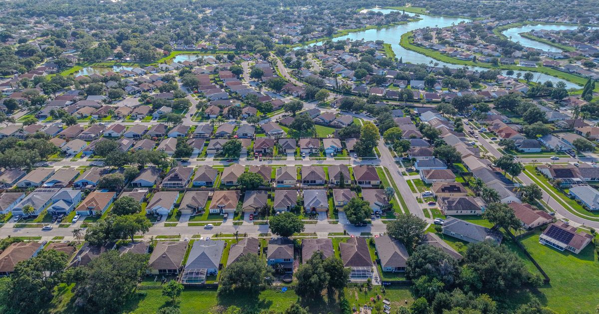
Aerial Vantage FL in Palatka
Palatka is the county seat of Putnam County, on the west bank of the St. Johns River where U.S. 17 crosses on the Memorial Bridge. In the 1800s it was a busy steamboat port and winter resort, and that history still shows in its riverfront, the large murals along downtown St. Johns Avenue, and the older homes in its historic districts. Ravine Gardens State Park sits on the south side of town, and the city fills up every Memorial Day weekend for Florida’s Blue Crab Festival.
The river shapes a lot of the property here. Homeowners, buyers, and marine contractors can use our seawall and dock photos to document bulkheads, docks, boat lifts, and shoreline along the St. Johns and its creeks, with clear views of areas that are hard to see from land. For listings, aerials show river frontage, views, and lot size, and we can pair them with full interior and exterior ground photography and 360° virtual tours in one visit.
Downtown businesses, venues, and event organizers can use aerial marketing video and photos to show their setting on the river. For insurance carriers, independent adjusting firms, and adjusters, we provide organized roof and storm imagery from a Licensed Florida All-Lines Adjuster (#W932150), whether the job is a historic home near downtown or a newer house on the edge of town.
Much of Palatka’s housing is older, from homes built in the late 1800s and early 1900s in the historic districts to mid-century houses on quiet side streets. Aerials help show lot size, mature tree canopy, and how close a property sits to the river or downtown, which can be hard to convey from the curb. Builders working on new homes around the city can also keep owners and lenders updated with recurring construction progress photos.
Edited photos are delivered within 24–48 hours. Every flight is flown by an FAA Part 107 certified remote pilot, and the business is fully insured.
Nearby areas we serve: East Palatka · Crescent City · Hastings · Bunnell