
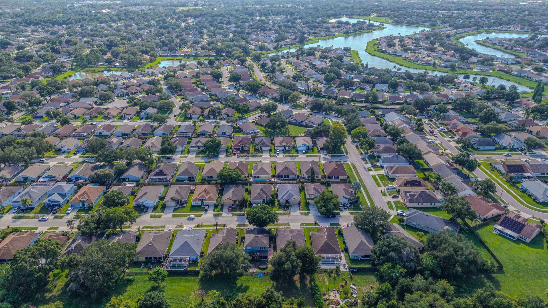
Aerial Vantage FL in Pierson
Pierson is a small town in rural northwest Volusia County along US 17, known as the Fern Capital of the World for its long history of fern growing. The area is defined by farms, nurseries, open land, and rural homes on larger parcels.
That makes drone mapping one of the most useful services here. An orthomosaic stitches hundreds of overlapping images into one detailed, top-down view of a property, so landowners, buyers, and agents can see field layouts, structures, ponds, and access roads at once. Drone maps are a visual planning and documentation tool, not a legal or certified survey.
For land and rural home listings, we pair ground photos with aerials that show the size and setting of the property. Owners building new structures can document their project with recurring progress photos from fixed positions.
Photos are delivered within 24–48 hours, and every flight is planned around current airspace rules and flown by an FAA Part 107 certified remote pilot. The business is fully insured.
Nearby areas we serve: DeLand · Lake Helen · Deltona · DeBary