
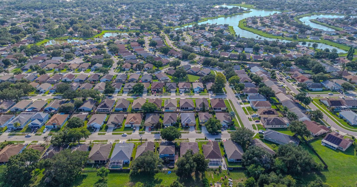
Aerial Vantage FL in South Daytona
South Daytona is a mostly residential city on the west bank of the Halifax River, between Daytona Beach to the north and Port Orange to the south. Riverfront homes and docks line its eastern edge, and quiet neighborhood streets fill the rest of the city.
Listing agents get interior, exterior, and drone photos from a single visit, with aerials that show the river, the lot, and nearby parks and roads. Riverfront owners use our seawall and dock photos to document their structures over time. For insurance carriers, independent adjusting firms, and adjusters, we provide organized roof and storm imagery from a Licensed Florida All-Lines Adjuster (#W932150).
Much of the area sits near Daytona Beach International Airport, so we check every address ahead of time and request FAA authorization where it is required.
Photos are delivered within 24–48 hours, and every flight is planned around current airspace rules and flown by an FAA Part 107 certified remote pilot. The business is fully insured.
Nearby areas we serve: Daytona Beach · Port Orange · Daytona Beach Shores · Holly Hill