
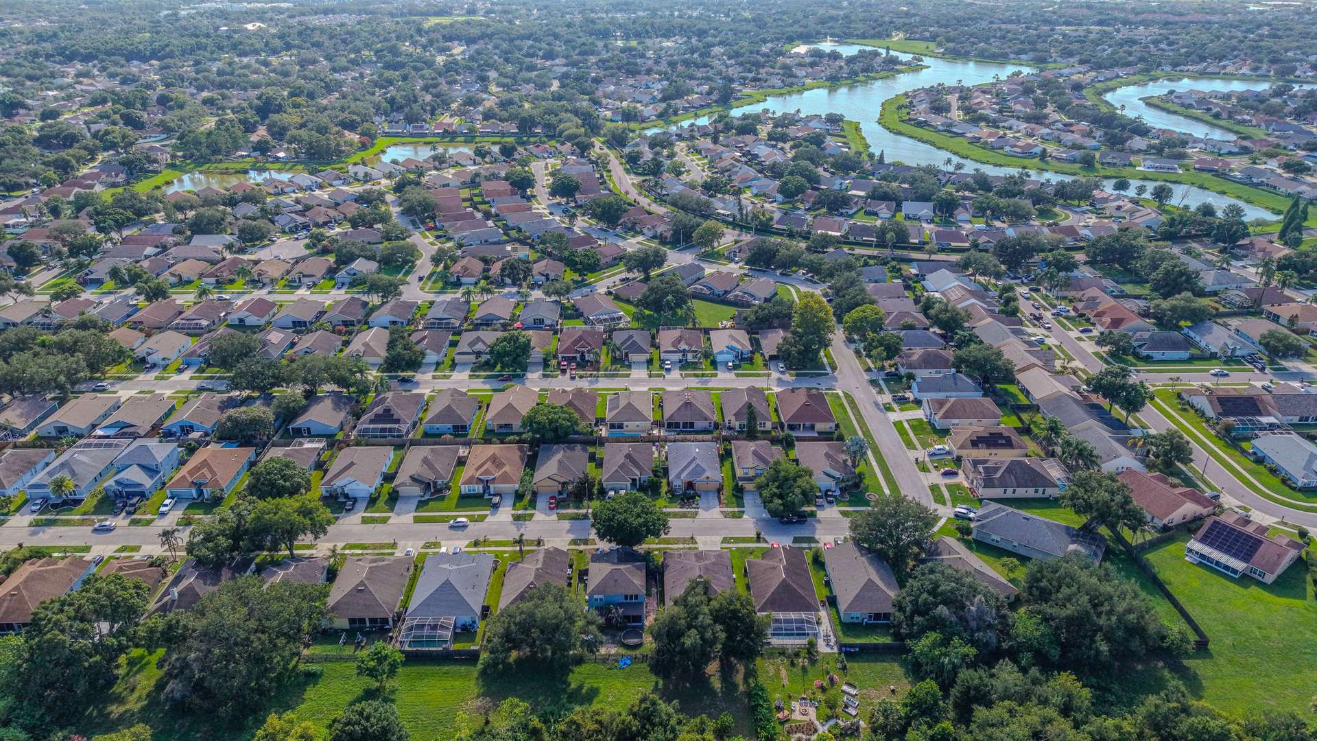
What you get
When a file needs roof documentation, the photos have to answer the questions a reviewer will ask. Aerial Vantage FL is operated by a Licensed Florida All-Lines Adjuster (#W932150) and former insurance company adjuster, so each roof is captured with the views and details a desk reviewer expects, organized the way a file is read.
- Overview photos of every elevation and each roof slope
- Close detail shots of visible conditions on shingle, tile, and metal roofs, plus vents, flashing, gutters, and other roof components
- Laser rangefinder reference measurements (reference only, not certified measurements)
- Labeled, organized photo sets with the property address and capture date
Who it’s for
This service is offered to insurance carriers, independent adjusting firms, and adjusters who need dependable roof imagery in Volusia, Seminole, and Flagler counties. We provide documentation only: coverage, damage determinations, and every decision on the file stay with the carrier or adjuster who assigned the work.
How it works
- Assignment. Send the property address, the on-site contact, and any specific areas or photos you need.
- Scheduling. We coordinate access with the contact you provide and check airspace and weather for the flight.
- Capture. The roof is documented from above, slope by slope. That means no ladders on steep, wet, or tile roofs, and a full view of areas that are hard to see from the ground.
- Delivery. Organized photo sets and reference measurements are delivered by download link.
Why use a drone for roof documentation
Drone capture keeps people off steep, wet, or fragile roofs, reaches slopes that can’t be seen from the ground, and produces consistent views from file to file. Consistent, well-labeled photo sets are faster to review and easier to compare when more than one person looks at the same roof. Reference measurements help with orientation and planning; they are reference only, not certified measurements.
Turnaround and service area
Imagery is delivered within 24–48 hours of the flight. We’re based in DeBary and cover Volusia, Seminole, and Flagler counties. The business is FAA Part 107 certified and fully insured.