
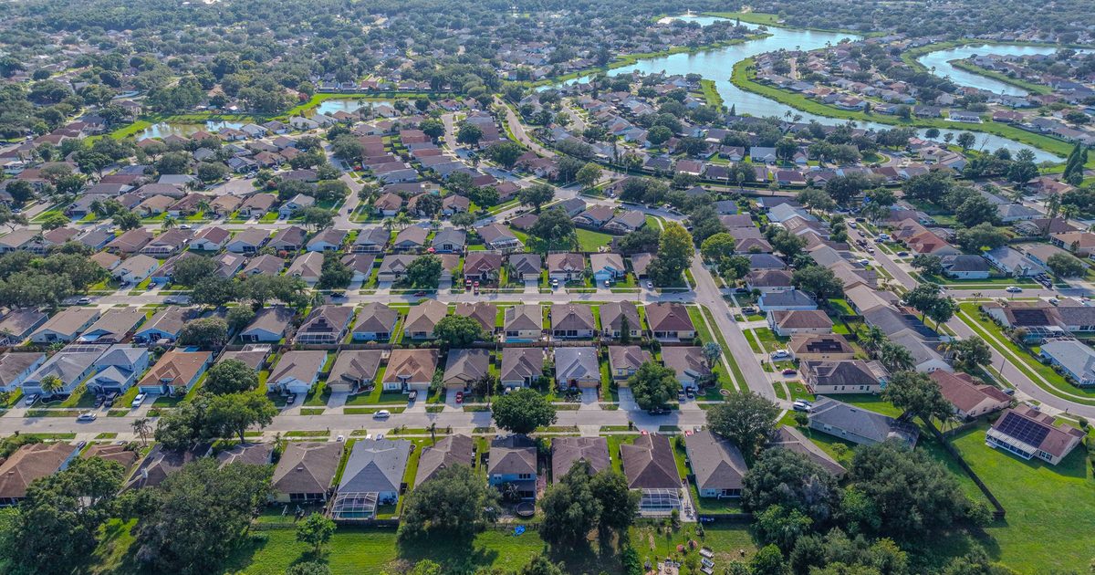
Aerial Vantage FL in DeLand
DeLand is the county seat of Volusia County and a short drive north of our DeBary base. The city blends a historic downtown and tree-lined older neighborhoods with larger rural parcels to the west and steady new residential development around its edges. Each of those needs a slightly different approach from the air.
Older homes under mature oak canopies often photograph best with a mix of ground shots and higher aerials that clear the trees and show the lot. Acreage and land listings benefit from an orthomosaic map, which stitches hundreds of overlapping images into one top-down view buyers can explore. For builders and developers, recurring construction progress photos from fixed positions make it easy to show lenders and owners how a project is moving.
The DeLand area also has active airspace, including the local municipal airport, so we check every address ahead of time and request FAA authorization wherever it’s required. If a spot can’t be flown, we’ll tell you before the shoot rather than on the day.
Edited photos are delivered within 24–48 hours, and every job is flown by an FAA Part 107 certified remote pilot with full insurance.
Nearby areas we serve: DeBary · Orange City · Deltona · Daytona Beach · Lake Helen · Pierson