
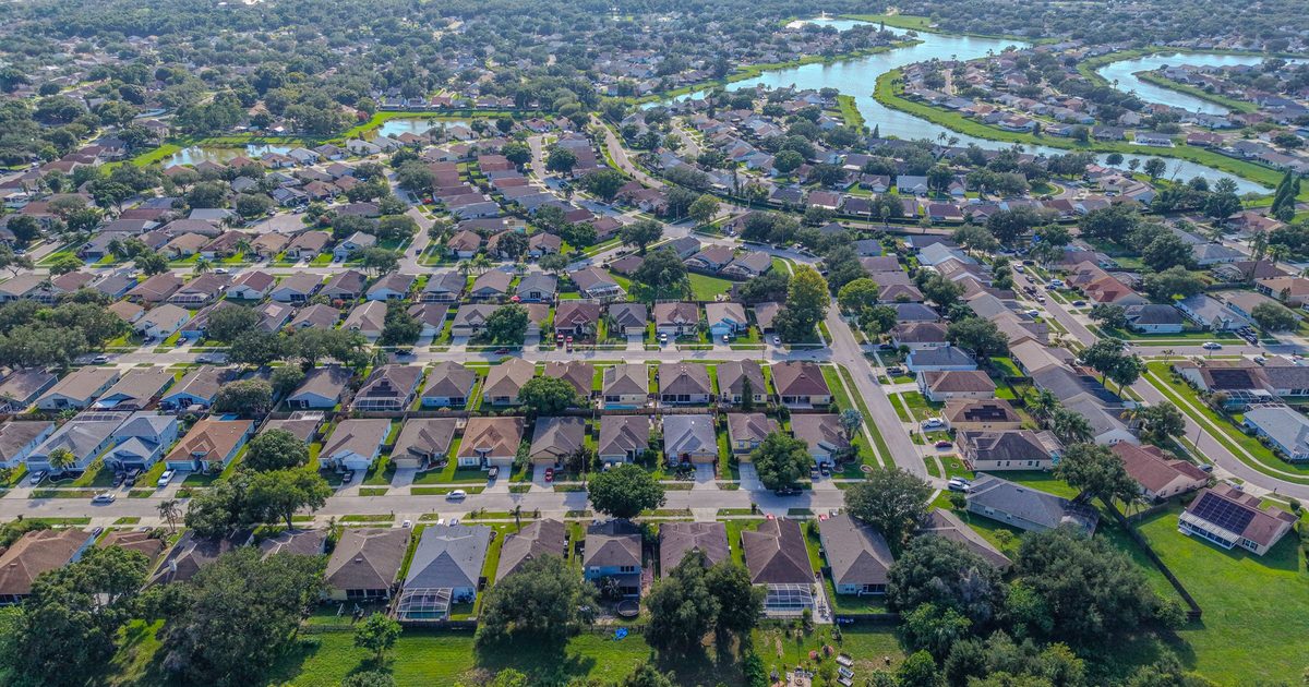
Aerial Vantage FL in Daytona Beach
Daytona Beach is Volusia County’s best-known coastal city, with a long line of oceanfront condominium buildings along the Atlantic, neighborhoods along the Halifax River, and a large commercial and events economy. Coastal properties face salt air, wind, and storms, and the documentation needs that come with them.
Condominium associations and the licensed engineers and architects who perform milestone inspections use our aerial photos to see roofs, facades, and balconies on upper floors that are hard to reach from the ground. We photograph and organize the exterior by elevation and floor; the inspection itself is performed by your licensed engineer or architect.
Oceanfront associations can also set up shoreline monitoring, with repeat aerial captures from the same positions to document dune and beach changes over time and after storms. On the riverfront side, we photograph seawalls and docks along the Halifax. For insurance carriers, independent adjusting firms, and adjusters, we provide organized roof and storm imagery from a Licensed Florida All-Lines Adjuster (#W932150).
Parts of the area sit in controlled airspace near the airport, so we check every address and obtain FAA authorization where required. Photos are delivered within 24–48 hours.
Nearby areas we serve: Ormond Beach · New Smyrna Beach · DeLand · Palm Coast · Port Orange · Holly Hill · Daytona Beach Shores