
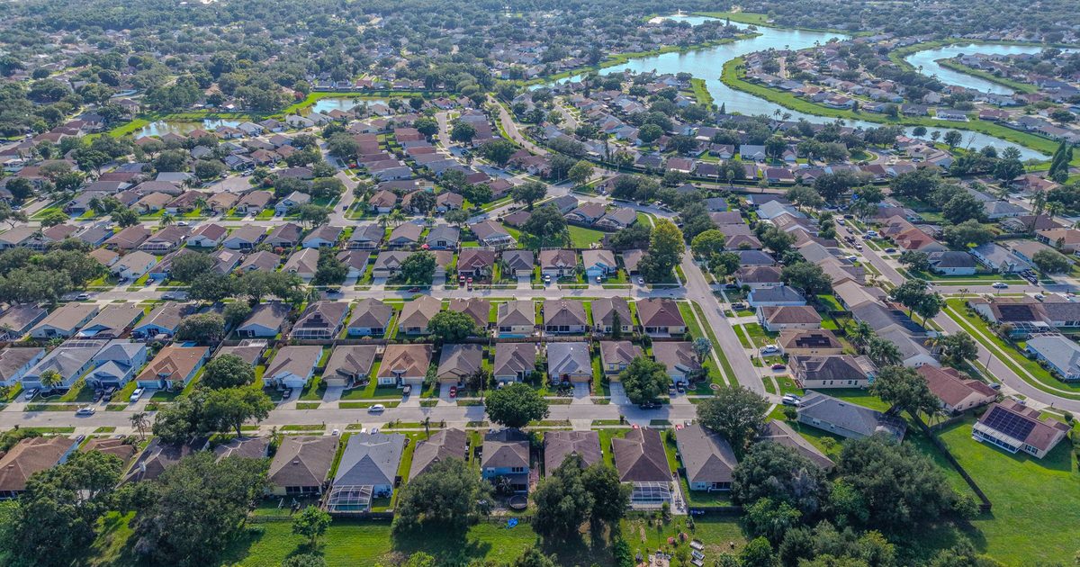
Aerial Vantage FL in Crescent City
Crescent City sits in southern Putnam County on U.S. 17, on a strip of high ground between Crescent Lake to the east and Lake Stella in the middle of town. Crescent Lake is one of the larger lakes in Northeast Florida and drains to the St. Johns River through Dunns Creek, so the area draws anglers and boaters, and many homes have their own docks. The town’s older streets hold historic homes, and farmland, woods, and rural homesites spread out around it toward Pomona Park, Welaka, and the Volusia County line.
On the lakes, aerials show what buyers want to see first: the shoreline, the dock, the view, and how far the house sits from the water. We can pair them with full interior and exterior ground photography and 360° virtual tours in one visit. Our seawall and dock photos also help homeowners, buyers, and marine contractors document docks, boat lifts, and bulkheads from angles that are hard to reach from shore.
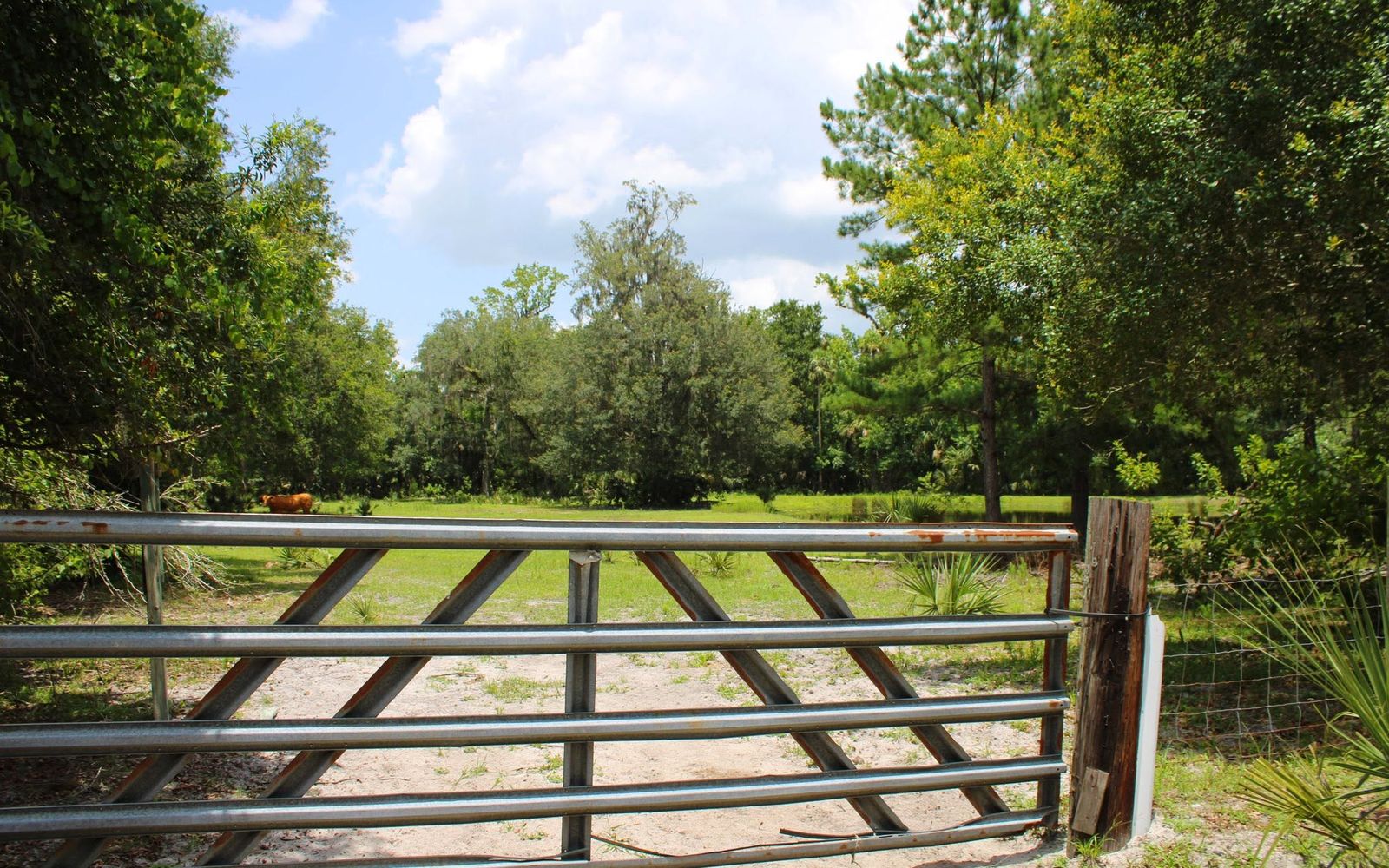
For larger parcels, drone mapping stitches hundreds of overlapping images into one top-down view of fields, ponds, tree lines, and access roads. Drone maps are a visual planning and documentation tool, not a legal or certified survey. For insurance carriers, independent adjusting firms, and adjusters, we provide organized roof and storm imagery from a Licensed Florida All-Lines Adjuster (#W932150).
Lake shoots are planned around the wind and the light. Calm mornings give the flattest water and the best reflections, and the rising sun over Crescent Lake lights up the shoreline on the west side of the lake. We’ll suggest a time that suits your property when we quote. Builders working on new homes around town can also keep owners and lenders updated with recurring construction progress photos.
Edited photos are delivered within 24–48 hours. Every flight is flown by an FAA Part 107 certified remote pilot, and the business is fully insured.
Nearby areas we serve: Palatka · East Palatka · Pierson · Bunnell