
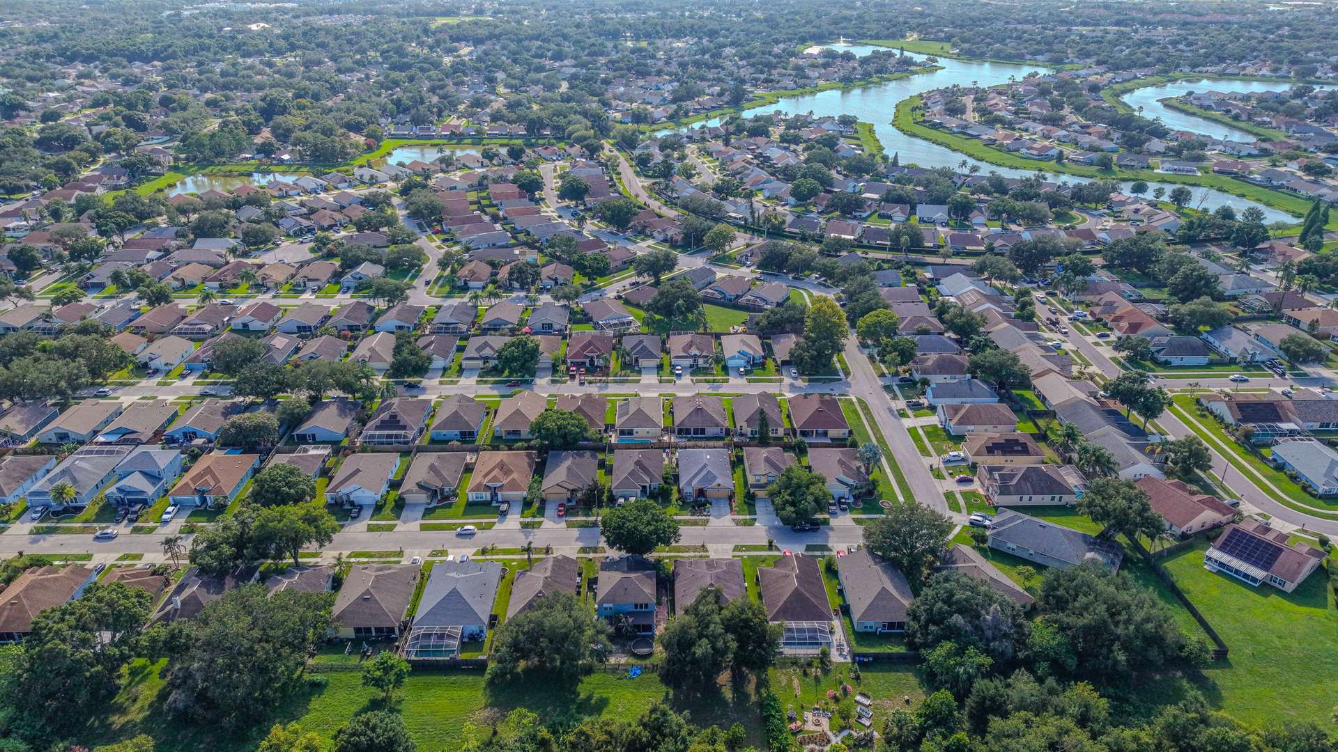
Aerial Vantage FL in Port Orange
Port Orange sits just south of Daytona Beach on the west bank of the Halifax River, and it is one of the larger cities in Volusia County. Its east side is lined with riverfront homes and docks, while neighborhoods and new communities stretch west past I-95. Spruce Creek winds through the area on its way to the river.
For listing agents, we capture interior, exterior, and drone photos in one visit, with aerials that show water access, lot size, and how close a home sits to the river or main roads. Waterfront owners and associations use our seawall and dock photos to keep a dated record of their structures, and builders working in the newer western communities use recurring progress photos from fixed positions to show lenders and owners how a project is moving.
Parts of Port Orange are close to local airports, so we check every address ahead of time and request FAA authorization where it is required.
Photos are delivered within 24–48 hours, and every flight is planned around current airspace rules and flown by an FAA Part 107 certified remote pilot. The business is fully insured.
Nearby areas we serve: South Daytona · Daytona Beach · Daytona Beach Shores · Ponce Inlet · New Smyrna Beach