
Listing media built for agents
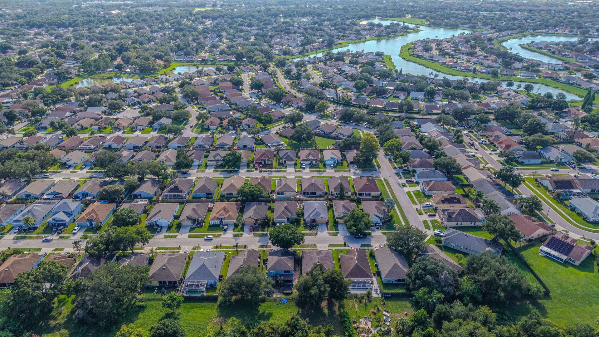
Your listing photos are the first showing. Aerial Vantage FL gives listing agents and brokerages one local provider for drone aerials, ground photography, and 360° virtual tours, captured in a single visit and delivered fast enough to keep your launch on schedule.
- Aerial photos from $149: edited drone photos that show the lot, the roof, the water or the golf course, and how close the home sits to parks, schools, and main roads.
- Ground + aerial from $219: interior and exterior ground photos plus drone aerials from the same visit, with consistent color across the whole set.
- 360° virtual tours, custom quote: an interactive walkthrough delivered as a shareable link you can add to listing sites such as Zillow and to the MLS where those platforms accept tour links.
Edited photos arrive within 24–48 hours. Every flight is flown by an FAA Part 107 certified remote pilot, the business is fully insured, and Aerial Vantage FL is veteran-owned. Travel is free within 25 miles of DeBary, and veterans and first responders get 10% off. Final pricing depends on property size and scope.
Land and acreage listings
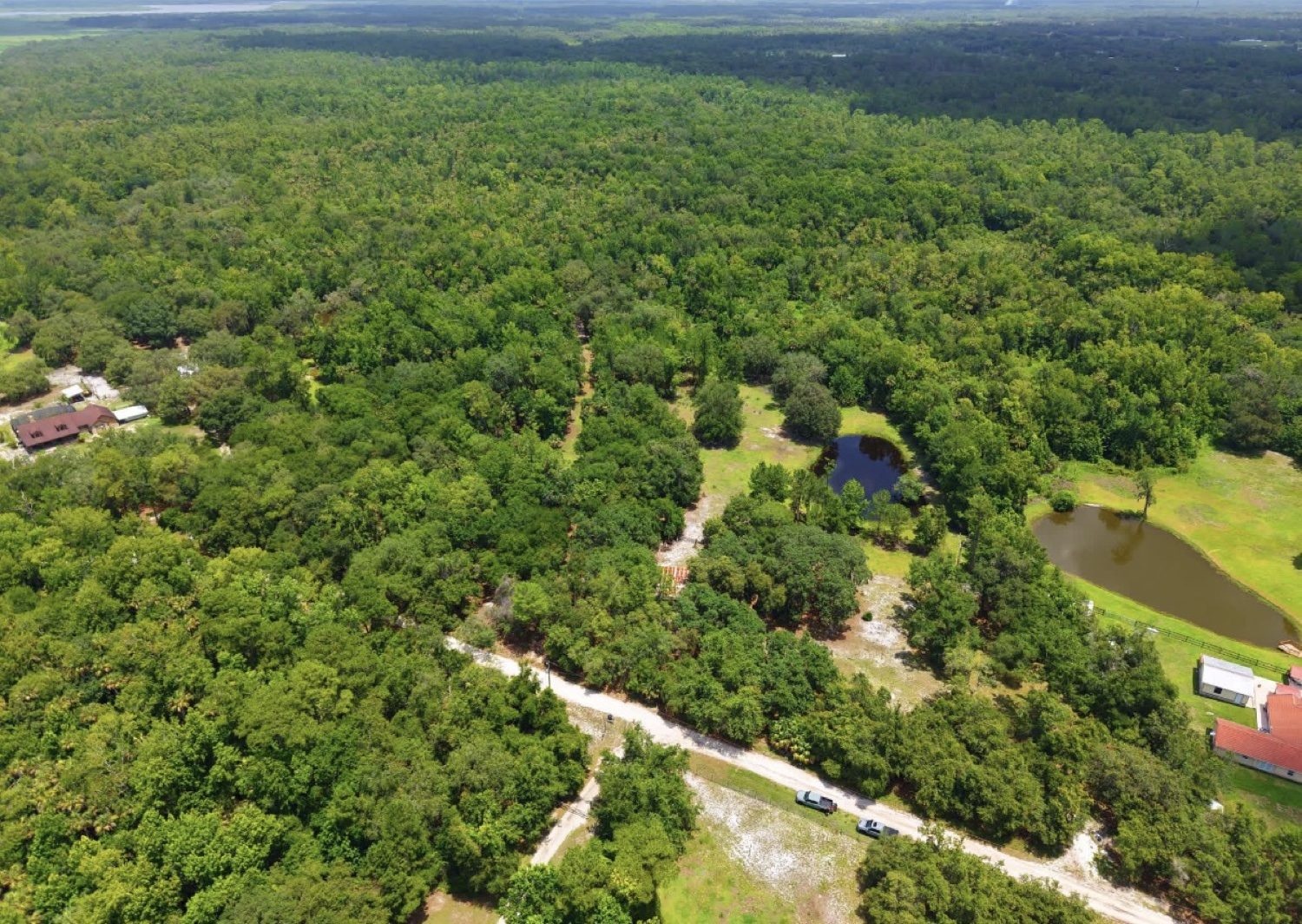
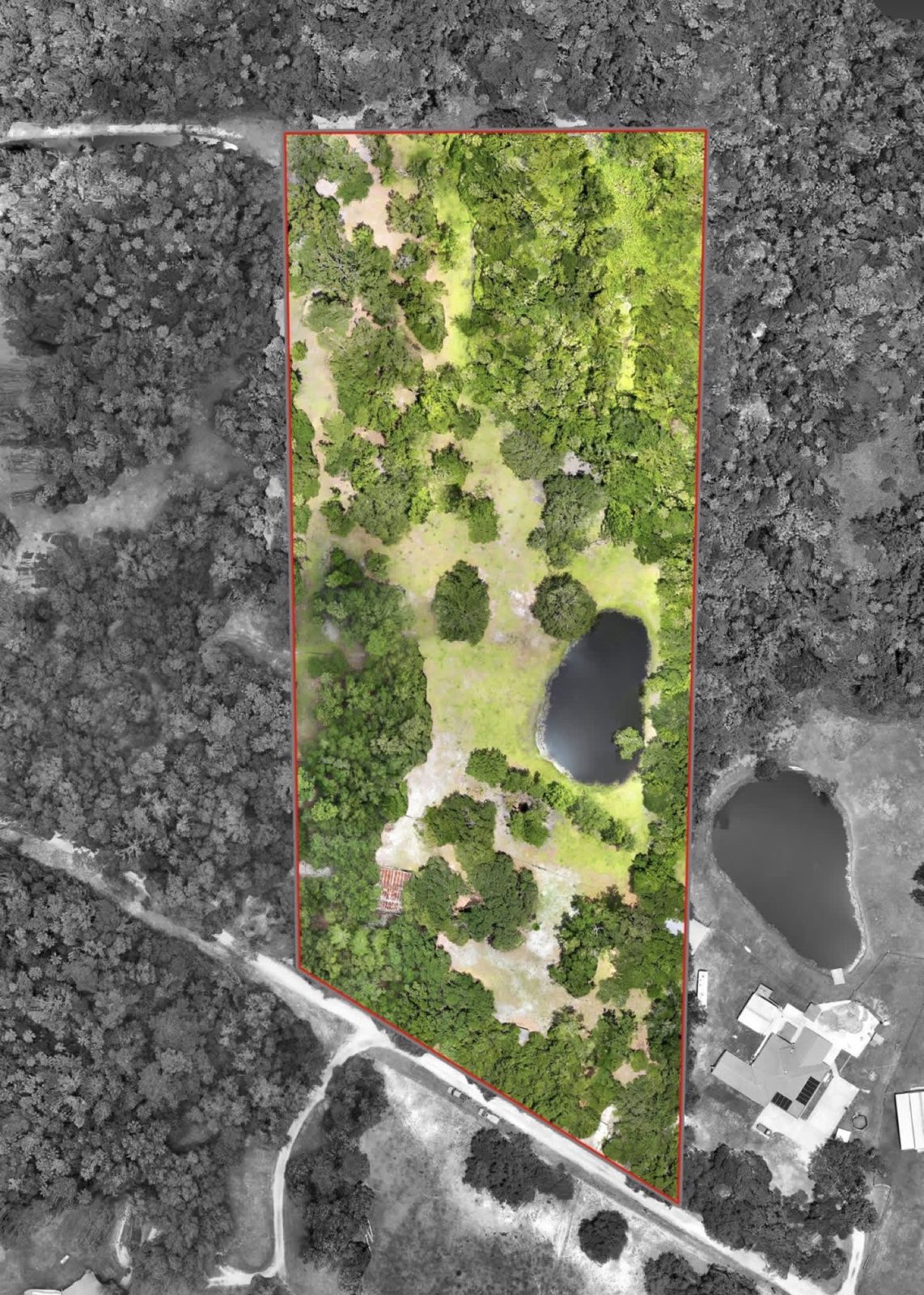
Vacant land is hard to sell from the road. Aerials show buyers the size of a parcel, the tree cover, ponds, and road access at a glance, and a highlighted outline helps them see what is included. That outline is a visual marketing aid, not a survey.
How booking works
- Request. Call (386) 259-8946, email info@aerialvantagefl.com, or send the quote form with the address, what you need, and when the home will be photo-ready.
- Confirm. We check the airspace, the forecast, and the best light, then confirm the date and price.
- Shoot. Ground photos, aerials, and any 360° tour are captured in one visit, so you only coordinate access once.
- Deliver. Edited photos arrive by download link within 24–48 hours, ready for the MLS.
Want the full service details? See real estate photography and drone mapping for larger land parcels.