
What you get
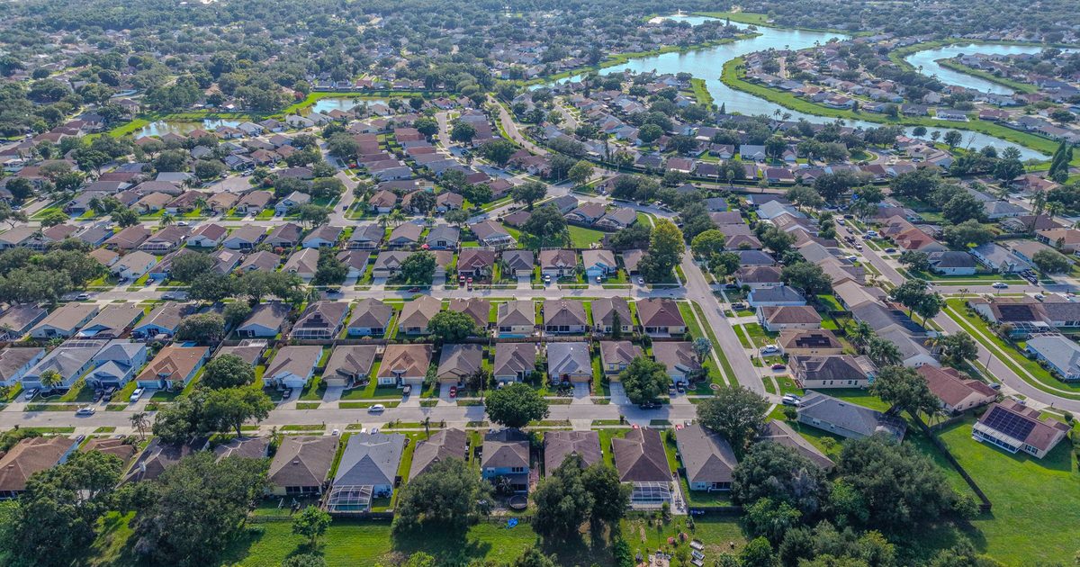
A single drone photo shows a slice of a property. An orthomosaic shows all of it. We fly a planned grid pattern with heavy image overlap, then process the photos into one high-resolution, top-down map you can zoom into, measure against for reference, and share with your team.
- A stitched orthomosaic (photomosaic) image of the full area you need covered
- Oblique overview photos to give the map context
- Files in common, shareable formats; tell us what your team uses and we’ll confirm the format when we quote
- Repeatable flight plans, so a site can be re-mapped later and compared side by side
Important: Drone maps are a visual planning and documentation tool. They are not a legal or certified survey, and any measurements taken from them are for reference only. For boundaries, elevations, or permit drawings, use a licensed Florida surveyor.
Who it’s for
Landowners and real estate agents marketing acreage, developers and site planners comparing options, contractors who want a current picture of a site, farms and ranches, HOAs and property managers keeping an eye on common areas, and anyone who needs to see a large property all at once.
How it works
- Define the area. Send an address, a parcel ID, or a marked-up screenshot of the boundary you want mapped.
- Plan the flight. We check airspace, set altitude and overlap for the detail you need, and pick a calm, well-lit window.
- Fly and process. The drone flies the grid automatically while we monitor it, then the images are stitched and reviewed for gaps.
- Deliver. You receive the finished map and overview photos by download link.
Common uses
Agents use orthomosaics to market land and show buyers where the clearings, ponds, and access points are. Developers and planners use them to sketch early concepts on a current image instead of an old satellite photo. Property managers and HOAs use them to spot problem areas across ponds, retention areas, and common grounds.

Turnaround and service area
Overview photos are delivered within 24–48 hours. Processing time for the stitched map depends on the size of the area, and we’ll give you a delivery date with the quote. We map properties throughout Volusia, Seminole, and Flagler counties.