
What you get
Shorelines change slowly, then all at once after a storm. The only way to know how much is to compare images taken the same way each time. We set fixed flight positions and paths on the first visit and repeat them on your schedule, so each new set lines up with the last.
- Photos from fixed, repeatable positions along the beach, dune, bank, or lake edge
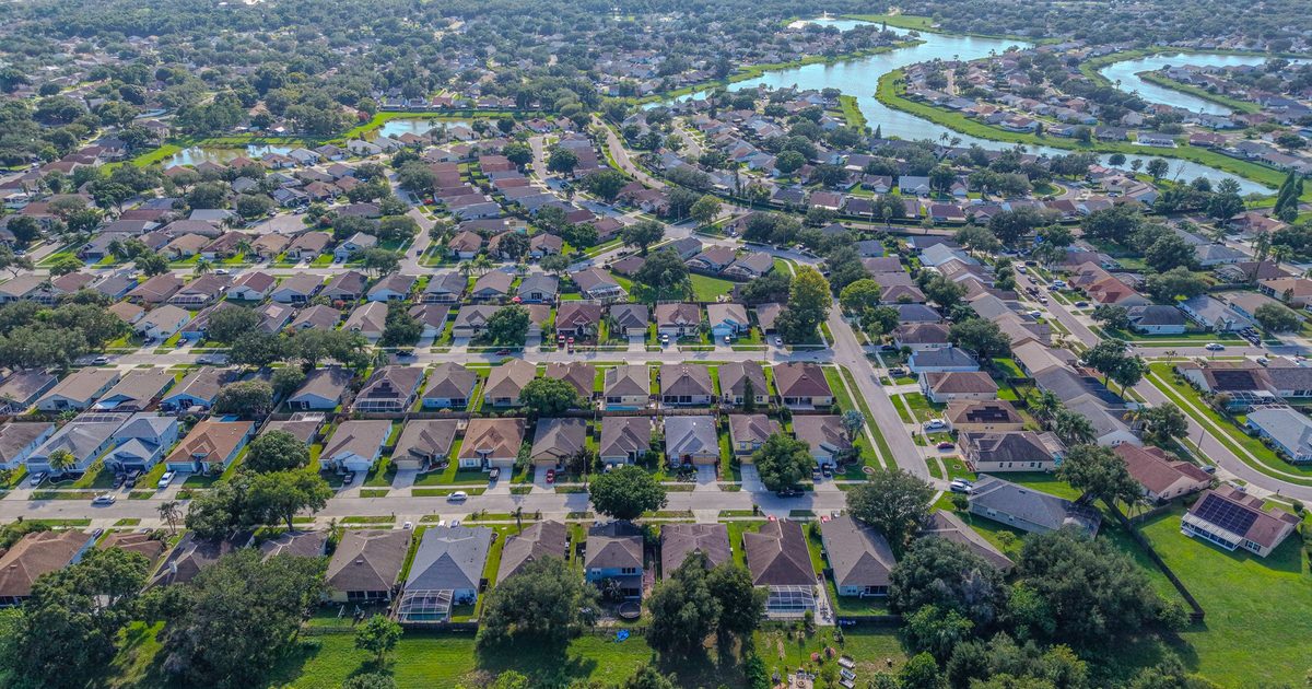
- Orthomosaic maps of the monitored area for top-down comparison
- Side-by-side before-and-after sets for each visit
- Organized, dated archives that build a visual record over months or years
Comparisons are visual and for reference. They are not a legal or certified survey. Projects that need certified elevations or boundary lines should involve a licensed surveyor.
Who it’s for
Oceanfront condo associations and HOAs watching their dunes, waterfront property owners along rivers, lakes, and the Intracoastal, marinas, environmental and coastal consultants who need regular imagery, and managers of parks or shared waterfront land.
How it works
- Baseline. We map the area and record the positions, heights, and headings to reuse.
- Schedule. Pick monthly, quarterly, or seasonal visits, plus optional captures before and after major storms when it’s safe to fly.
- Repeat captures. Each visit uses the saved plan, timed to similar tide conditions where that matters.
- Delivery. Each visit’s photos are delivered with comparisons to the previous set.
Why repeat imagery works
One photo of a beach or bank tells you how it looks today. A series taken from the same positions shows the trend: where a dune is narrowing, where vegetation is coming back, or where a bank is slumping. That record helps associations, owners, and consultants decide when to bring in a coastal engineer or contractor, and gives them clear before-and-after images when they do.
Turnaround and service area
Photos are delivered within 24–48 hours of each visit, and orthomosaic timing is confirmed with the quote. We monitor Atlantic beaches and dunes in Volusia and Flagler counties, plus riverbanks and lakeshores throughout Volusia, Seminole, and Flagler counties.