
What you get
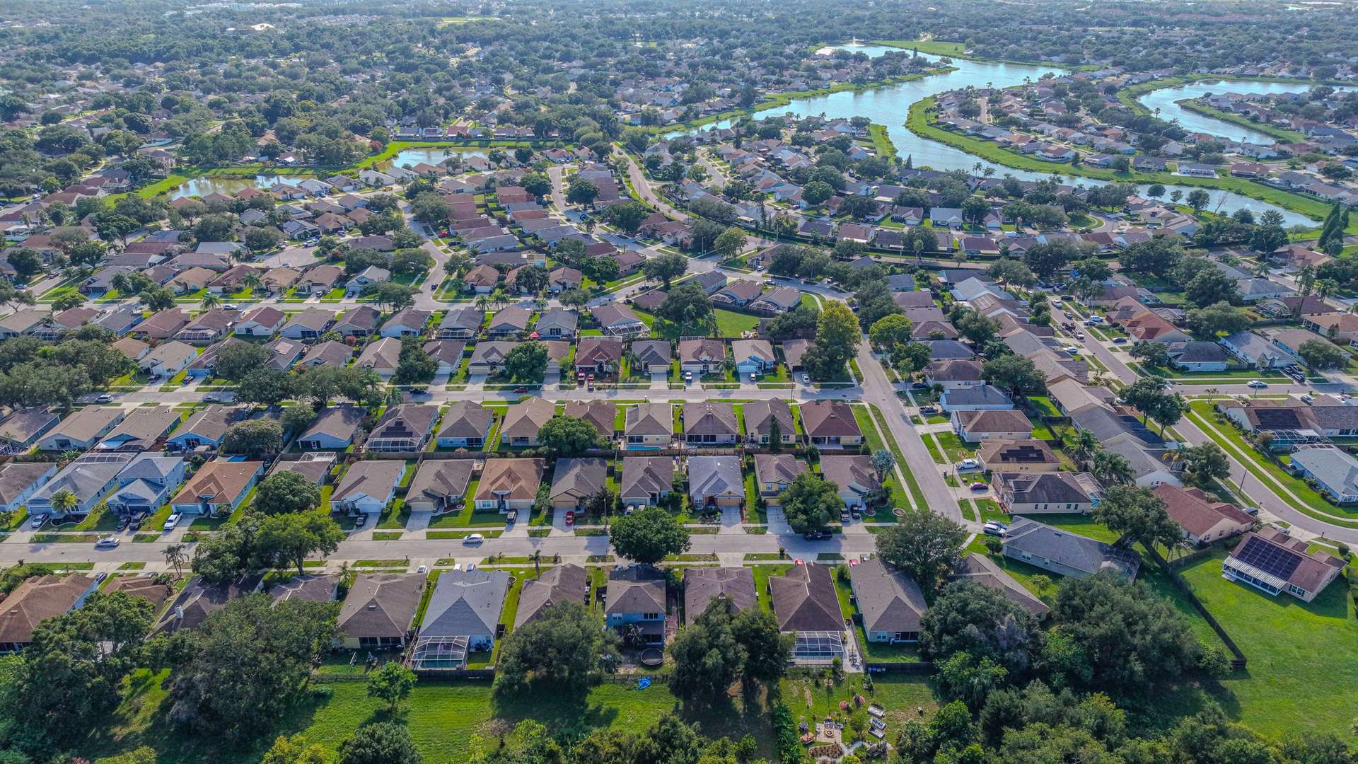
A crash or incident site is hard to understand from ground photos alone. Aerial images show the whole layout at once: lane configuration, intersection geometry, signage, sight lines, driveways, and where everything sits relative to everything else.
- Top-down overview photos of the scene and its approaches
- An orthomosaic map of the area for a single, detailed overhead view
- Oblique photos showing sight lines and approach angles
- Visible marks, debris fields, or vehicle positions, if they are still present when we fly
Our maps and photos document layout for review and reporting. They are not a legal or certified survey, and any measurements are reference only. Admissibility or use in a legal matter is for your legal team to decide.
Who it’s for
Attorneys and their investigators, accident reconstruction specialists, insurance professionals, fleet safety managers, and property owners who need a record of an incident location such as a parking lot, a driveway, or an intersection.
How it works
- Request. Share the location, what you need shown, and any time sensitivity.
- Authorization. We fly only where it’s legal and authorized. Active emergency scenes are flown only with permission from the agency in charge; most work documents the location after the scene has been cleared.
- Capture. We fly a mapping pattern plus targeted overview and sight-line shots, timed to avoid traffic disruption.
- Delivery. Photos and the map are delivered by download link, with the capture date and time recorded.
Why overhead documentation helps
Roads and intersections change: signs are replaced, vegetation grows or is cut back, and lanes get restriped. Capturing the location promptly preserves how it looked close to the date of the incident. An overhead map is also easier for everyone in a review to understand than a stack of ground photos, because it shows distances, approach angles, and the relationship between every feature in one view.
Turnaround and service area
Photos are delivered within 24–48 hours, and map processing time is confirmed with the quote. We cover roadways and sites across Volusia, Seminole, and Flagler counties.